Mill Bay through the trees
Introduction
The photograph on this page of Mill Bay through the trees by Gordon Hatton as part of the Geograph project.
The Geograph project started in 2005 with the aim of publishing, organising and preserving representative images for every square kilometre of Great Britain, Ireland and the Isle of Man.

There are currently over 7.5m images from over 14,400 individuals and you can help contribute to the project by visiting https://www.geograph.org.uk
Mill Bay through the trees
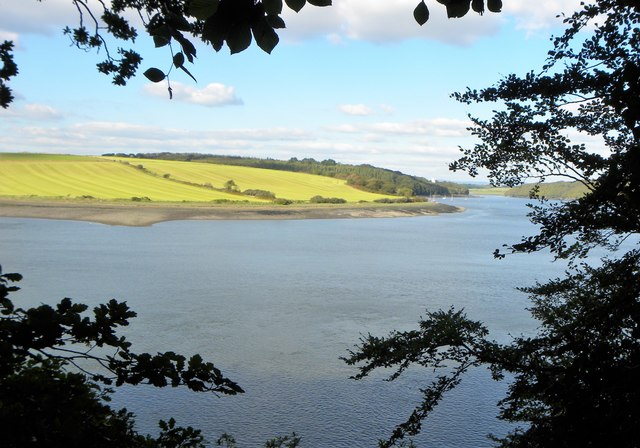
Image: © Gordon Hatton Taken: 6 Oct 2016
A permissive path follows the shoreline of the Claddau estuary from below Whalecombe Farm round past Mill Bay and as far as Folly, the path being on Cosheston Hall land. Much of the way is through trees, so views of the tidal river are relatively few. This shot looks north across Mill Bay with the lower end of Williamston Mountain on the far bank.
Images are licensed for reuse under creativecommons.org/licenses/by-sa/2.0
Image Location
Latitude
51.707958
Longitude
-4.893936