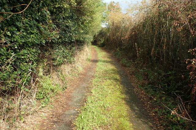
Terryhoogan Road
Introduction
The photograph on this page of Terryhoogan Road by Robert Ashby as part of the Geograph project.
The Geograph project started in 2005 with the aim of publishing, organising and preserving representative images for every square kilometre of Great Britain, Ireland and the Isle of Man.
There are currently over 7.5m images from over 14,400 individuals and you can help contribute to the project by visiting https://www.geograph.org.uk

Image: © Robert Ashby Taken: 19 Oct 2016
Terryhoogan Road can be confusing as it consists of four separate but interconnected roads all called Terryhoogan Road. Three of them are well enough surfaced but this bit is easily in the worst condition and is almost derelict though there is quite a large and fairly modern looking house further along and the road beyond it is just as bad. Maybe they come in and out by helicopter.The lengths some people will go for a bit of privacy! I might well have been the first cyclist ever to venture along here and only because it was the shortest route to the next geograph square. Geographing can sometimes be an exciting journey into the unknown.

