Fallow field near Halfway House Farm
Introduction
The photograph on this page of Fallow field near Halfway House Farm by Robin Webster as part of the Geograph project.
The Geograph project started in 2005 with the aim of publishing, organising and preserving representative images for every square kilometre of Great Britain, Ireland and the Isle of Man.

There are currently over 7.5m images from over 14,400 individuals and you can help contribute to the project by visiting https://www.geograph.org.uk
Fallow field near Halfway House Farm
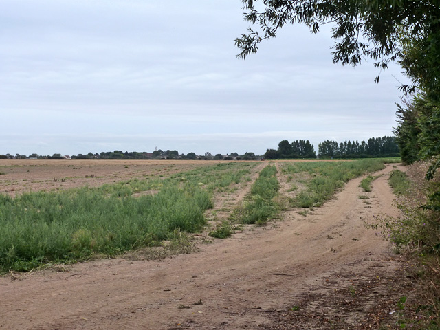
Image: © Robin Webster Taken: 11 Aug 2015
Over the far side a tractor is cultivating the field in some way. In the distance Great Wakering church is showing.
Images are licensed for reuse under creativecommons.org/licenses/by-sa/2.0
Image Location


Leaflet Map data © OpenStreetMap
Latitude
51.564412
Longitude
0.805823