Loscombe, gates
Introduction
The photograph on this page of Loscombe, gates by Mike Faherty as part of the Geograph project.
The Geograph project started in 2005 with the aim of publishing, organising and preserving representative images for every square kilometre of Great Britain, Ireland and the Isle of Man.

There are currently over 7.5m images from over 14,400 individuals and you can help contribute to the project by visiting https://www.geograph.org.uk
Loscombe, gates
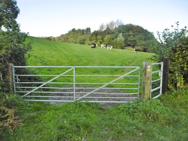
Image: © Mike Faherty Taken: 19 Oct 2016
At a path junction; left to Hincknowle, right to Charity Farm. The right turn, through cattle grazing, is on the Ant Hill Trail: http://www.dorsetwildlifetrust.org.uk/hres/Ant_Hill_Trail_Leaflet2015.pdf
Images are licensed for reuse under creativecommons.org/licenses/by-sa/2.0
Image Location
Latitude
50.772796
Longitude
-2.718535