Recreation ground, Weston-Super-Mare
Introduction
The photograph on this page of Recreation ground, Weston-Super-Mare by Derek Harper as part of the Geograph project.
The Geograph project started in 2005 with the aim of publishing, organising and preserving representative images for every square kilometre of Great Britain, Ireland and the Isle of Man.

There are currently over 7.5m images from over 14,400 individuals and you can help contribute to the project by visiting https://www.geograph.org.uk
Recreation ground, Weston-Super-Mare
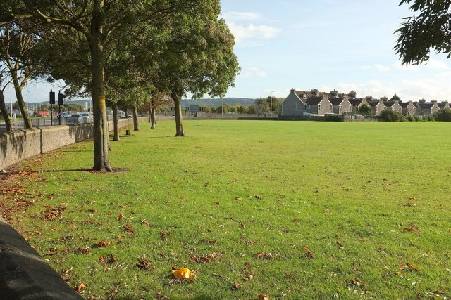
Image: © Derek Harper Taken: 18 Oct 2016
Drove Road Recreation Ground, seen from Sunnyside Road North by its junction with the foot of Hildesheim Bridge, the A370, which is on the left. The houses across the recreation ground are on Drove Road.
Images are licensed for reuse under creativecommons.org/licenses/by-sa/2.0
Image Location
Latitude
51.342272
Longitude
-2.969035