St Austell town centre redevelopment
Introduction
The photograph on this page of St Austell town centre redevelopment by bernard may as part of the Geograph project.
The Geograph project started in 2005 with the aim of publishing, organising and preserving representative images for every square kilometre of Great Britain, Ireland and the Isle of Man.

There are currently over 7.5m images from over 14,400 individuals and you can help contribute to the project by visiting https://www.geograph.org.uk
St Austell town centre redevelopment
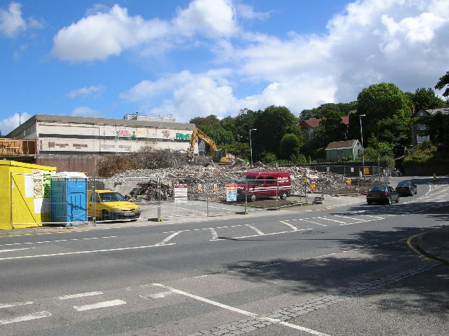
Image: © bernard may Taken: 25 Aug 2005
The demolition of the old late-lamented multi-storey car park.
Images are licensed for reuse under creativecommons.org/licenses/by-sa/2.0
Image Location


Leaflet Map data © OpenStreetMap
Latitude
50.3352
Longitude
-4.794882