Vicarage Lawn Cottage and Neighbouring buildings on Vicarage Street
Introduction
The photograph on this page of Vicarage Lawn Cottage and Neighbouring buildings on Vicarage Street by Roger A Smith as part of the Geograph project.
The Geograph project started in 2005 with the aim of publishing, organising and preserving representative images for every square kilometre of Great Britain, Ireland and the Isle of Man.

There are currently over 7.5m images from over 14,400 individuals and you can help contribute to the project by visiting https://www.geograph.org.uk
Vicarage Lawn Cottage and Neighbouring buildings on Vicarage Street
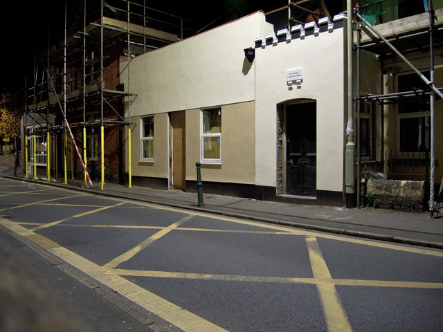
Image: © Roger A Smith Taken: 19 Oct 2016
Vicarage Lawn Cottage is the property to the right of the photograph and is listed as number 9 Vicarage Street on OS maps. The building to the left with scaffold erected in front of it is number 9a. The recently renovated building in between these does not appear to be numbered. Vicarage Lawn is a residential road opposite the tree on the far left of the photograph and would once have been the lawn beside the Mary Magdalene Church. Vicarage Lawn Cottage would have been one of only a few properties on this section of Vicarage Street. See also: Image
Images are licensed for reuse under creativecommons.org/licenses/by-sa/2.0
Image Location
Latitude
51.082708
Longitude
-4.057052