Rhyne by St Andrew's Road
Introduction
The photograph on this page of Rhyne by St Andrew's Road by Derek Harper as part of the Geograph project.
The Geograph project started in 2005 with the aim of publishing, organising and preserving representative images for every square kilometre of Great Britain, Ireland and the Isle of Man.

There are currently over 7.5m images from over 14,400 individuals and you can help contribute to the project by visiting https://www.geograph.org.uk
Rhyne by St Andrew's Road
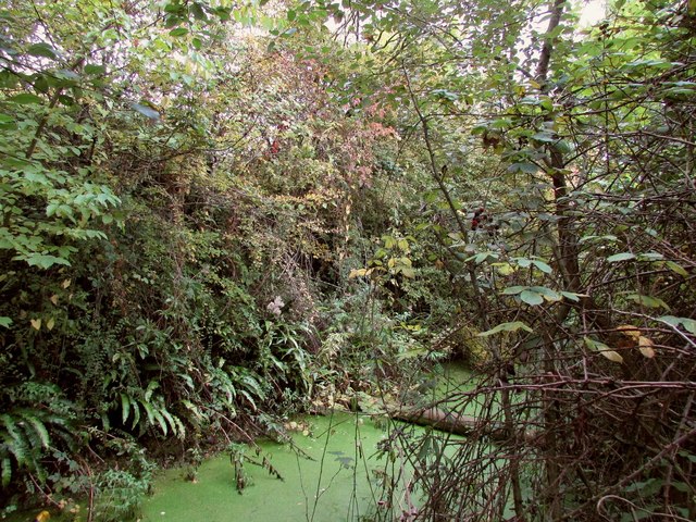
Image: © Derek Harper Taken: 19 Oct 2016
A foray into the trees and bushes on the left of the stretch of road where Image was taken reveals this rhyne, running between the busy St Andrew's Road and Ironchurch Road, which seems to have no public access.
Images are licensed for reuse under creativecommons.org/licenses/by-sa/2.0
Image Location
Latitude
51.51705
Longitude
-2.693294