Edendarriff Mountain from the Magherahamlet Road
Introduction
The photograph on this page of Edendarriff Mountain from the Magherahamlet Road by Eric Jones as part of the Geograph project.
The Geograph project started in 2005 with the aim of publishing, organising and preserving representative images for every square kilometre of Great Britain, Ireland and the Isle of Man.

There are currently over 7.5m images from over 14,400 individuals and you can help contribute to the project by visiting https://www.geograph.org.uk
Edendarriff Mountain from the Magherahamlet Road
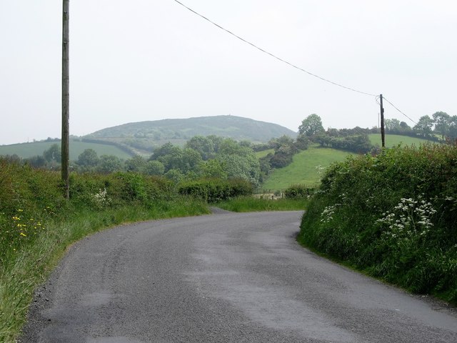
Image: © Eric Jones Taken: 9 Jun 2016
Edendarriff Mountain, quarried for aggregates, stands in the background. A couple of well formed drumlins occupies the middle ground.
Images are licensed for reuse under creativecommons.org/licenses/by-sa/2.0
Image Location
Latitude
54.340315
Longitude
-5.881809