Lincoln Road
Introduction
The photograph on this page of Lincoln Road by Ian Capper as part of the Geograph project.
The Geograph project started in 2005 with the aim of publishing, organising and preserving representative images for every square kilometre of Great Britain, Ireland and the Isle of Man.

There are currently over 7.5m images from over 14,400 individuals and you can help contribute to the project by visiting https://www.geograph.org.uk
Lincoln Road
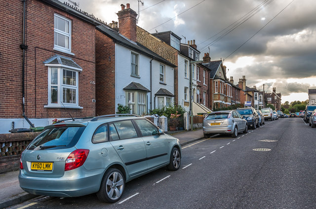
Image: © Ian Capper Taken: 10 Oct 2016
Late Victorian housing. The road itself is already shown on the 1870 1:2500 map, with the area between it and the Redhill - Guildford railway at Deepdene (then Boxhill) Station (the side of the road seen here) shown as a nursery garden, named Boxhill Nursery. The houses first appear on the 1896 1:2500 map. In the background is Ashcombe, one of a number of large villas built on the stretch of London Road between Lincoln Road and the railway at around the same time.
Images are licensed for reuse under creativecommons.org/licenses/by-sa/2.0
Image Location
Latitude
51.239774
Longitude
-0.323433