Canadian Wing, Queen Victoria Hospital
Introduction
The photograph on this page of Canadian Wing, Queen Victoria Hospital by Ian Capper as part of the Geograph project.
The Geograph project started in 2005 with the aim of publishing, organising and preserving representative images for every square kilometre of Great Britain, Ireland and the Isle of Man.

There are currently over 7.5m images from over 14,400 individuals and you can help contribute to the project by visiting https://www.geograph.org.uk
Canadian Wing, Queen Victoria Hospital
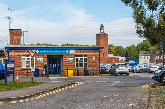
Image: © Ian Capper Taken: 14 Oct 2016
Now the main entrance to the Queen Victoria Hospital, the Canadian Wing was opened in 1944, having been built by the Royal Canadian Air Force and paid for by the Canadian government in recognition of the large number of Canadian servicemen who had been treated at the hospital during the Second World War.
Images are licensed for reuse under creativecommons.org/licenses/by-sa/2.0
Image Location
Latitude
51.134799
Longitude
-0.001626