Royal Sun Alliance building
Introduction
The photograph on this page of Royal Sun Alliance building by Andy Potter as part of the Geograph project.
The Geograph project started in 2005 with the aim of publishing, organising and preserving representative images for every square kilometre of Great Britain, Ireland and the Isle of Man.

There are currently over 7.5m images from over 14,400 individuals and you can help contribute to the project by visiting https://www.geograph.org.uk
Royal Sun Alliance building
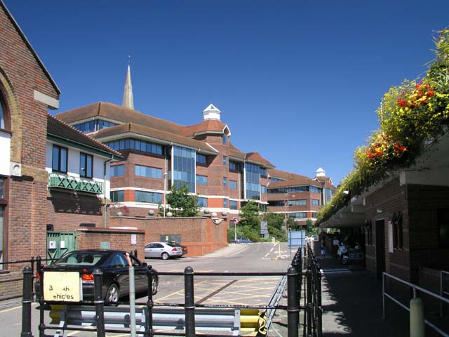
Image: © Andy Potter Taken: 4 Aug 2007
Seen from the service road between Image and Piries Place car park. This is the building at the right of shot in Image
Images are licensed for reuse under creativecommons.org/licenses/by-sa/2.0
Image Location


Leaflet Map data © OpenStreetMap
Latitude
51.063182
Longitude
-0.325296