Control room, Town Swingbridge, Northwich
Introduction
The photograph on this page of Control room, Town Swingbridge, Northwich by Christine Johnstone as part of the Geograph project.
The Geograph project started in 2005 with the aim of publishing, organising and preserving representative images for every square kilometre of Great Britain, Ireland and the Isle of Man.

There are currently over 7.5m images from over 14,400 individuals and you can help contribute to the project by visiting https://www.geograph.org.uk
Control room, Town Swingbridge, Northwich
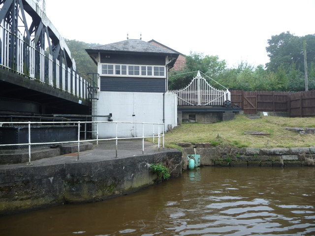
Image: © Christine Johnstone Taken: 15 Sep 2016
The swingbridge carries Watling Street over the Weaver Navigation. The white gate wheels across to stop the road traffic when the bridge opens for large boats.
Images are licensed for reuse under creativecommons.org/licenses/by-sa/2.0
Image Location
Latitude
53.260531
Longitude
-2.516245