Green Lane
Introduction
The photograph on this page of Green Lane by Neil Owen as part of the Geograph project.
The Geograph project started in 2005 with the aim of publishing, organising and preserving representative images for every square kilometre of Great Britain, Ireland and the Isle of Man.

There are currently over 7.5m images from over 14,400 individuals and you can help contribute to the project by visiting https://www.geograph.org.uk
Green Lane
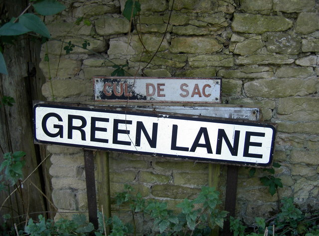
Image: © Neil Owen Taken: 18 Oct 2016
A country lane that will allow a pedestrian to reach Beek's Lane, but not a vehicle - hence the Cul de Sac.
Images are licensed for reuse under creativecommons.org/licenses/by-sa/2.0
Image Location
Latitude
51.461811
Longitude
-2.329001