Windermere Road, Coulsdon, Surrey
Introduction
The photograph on this page of Windermere Road, Coulsdon, Surrey by Dr Neil Clifton as part of the Geograph project.
The Geograph project started in 2005 with the aim of publishing, organising and preserving representative images for every square kilometre of Great Britain, Ireland and the Isle of Man.

There are currently over 7.5m images from over 14,400 individuals and you can help contribute to the project by visiting https://www.geograph.org.uk
Windermere Road, Coulsdon, Surrey
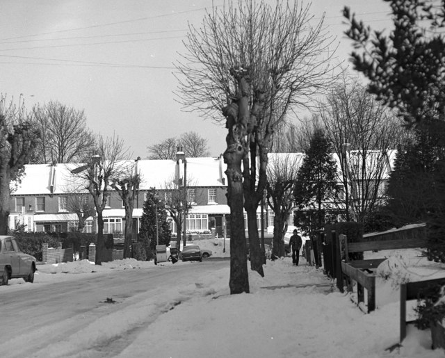
Image: © Dr Neil Clifton Taken: 1 Jan 1979
Showing the north-eastern end and the junction with Stoats Nest Road. New Year's Day 1979 brought a heavy fall of snow.
Images are licensed for reuse under creativecommons.org/licenses/by-sa/2.0
Image Location
Latitude
51.326043
Longitude
-0.129436