Brynffanigl Isaf track 2
Introduction
The photograph on this page of Brynffanigl Isaf track 2 by Jonathan Wilkins as part of the Geograph project.
The Geograph project started in 2005 with the aim of publishing, organising and preserving representative images for every square kilometre of Great Britain, Ireland and the Isle of Man.

There are currently over 7.5m images from over 14,400 individuals and you can help contribute to the project by visiting https://www.geograph.org.uk
Brynffanigl Isaf track 2
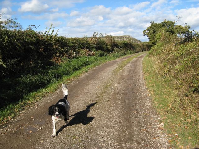
Image: © Jonathan Wilkins Taken: 17 Oct 2016
The farm track carries a public footpath here. In the distance is the ever-dominant mass of Craig y Forwyn (see Image), below which the Dulas valley squeezes out to the sea.
Images are licensed for reuse under creativecommons.org/licenses/by-sa/2.0
Image Location


Leaflet Map data © OpenStreetMap
Latitude
53.260002
Longitude
-3.638795