Afon Dulas clearance
Introduction
The photograph on this page of Afon Dulas clearance by Jonathan Wilkins as part of the Geograph project.
The Geograph project started in 2005 with the aim of publishing, organising and preserving representative images for every square kilometre of Great Britain, Ireland and the Isle of Man.

There are currently over 7.5m images from over 14,400 individuals and you can help contribute to the project by visiting https://www.geograph.org.uk
Afon Dulas clearance
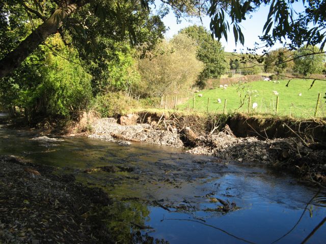
Image: © Jonathan Wilkins Taken: 17 Oct 2016
At the riverbank under the shade of trees, where it is obvious that obstructing shingle banks and bushes have been cleared from the river bed.
Images are licensed for reuse under creativecommons.org/licenses/by-sa/2.0
Image Location


Leaflet Map data © OpenStreetMap
Latitude
53.266672
Longitude
-3.637551