Townsend: footpath K39 from Ibbertson Road
Introduction
The photograph on this page of Townsend: footpath K39 from Ibbertson Road by Chris Downer as part of the Geograph project.
The Geograph project started in 2005 with the aim of publishing, organising and preserving representative images for every square kilometre of Great Britain, Ireland and the Isle of Man.

There are currently over 7.5m images from over 14,400 individuals and you can help contribute to the project by visiting https://www.geograph.org.uk
Townsend: footpath K39 from Ibbertson Road
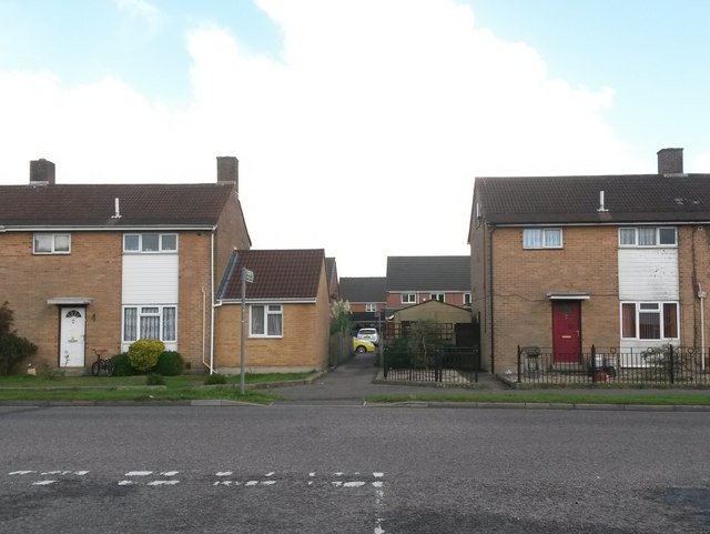
Image: © Chris Downer Taken: 16 Oct 2016
Looking across Ibbertson Road from the turning of Ibbertson Way. Ahead, a public footpath cuts through to Ibbertson Close. It is a very short path, as Ibbertson Close has no houses on this side so there is only the depth of one property to pass. See Image for the view towards us from just along the path.
Images are licensed for reuse under creativecommons.org/licenses/by-sa/2.0
Image Location
Latitude
50.75115
Longitude
-1.831831