Strouden: footpath K38 from Woodbury Avenue
Introduction
The photograph on this page of Strouden: footpath K38 from Woodbury Avenue by Chris Downer as part of the Geograph project.
The Geograph project started in 2005 with the aim of publishing, organising and preserving representative images for every square kilometre of Great Britain, Ireland and the Isle of Man.

There are currently over 7.5m images from over 14,400 individuals and you can help contribute to the project by visiting https://www.geograph.org.uk
Strouden: footpath K38 from Woodbury Avenue
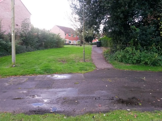
Image: © Chris Downer Taken: 16 Oct 2016
Looking across the original course of Woodbury Avenue up this short path to Barrow Way. See Image for a wider view, including more discussion on the realignment of Woodbury Avenue, and Image for the view towards us from midway along the path.
Images are licensed for reuse under creativecommons.org/licenses/by-sa/2.0
Image Location
Latitude
50.752591
Longitude
-1.833953