Townsend: footpath K37 approaches Ibbertson Way
Introduction
The photograph on this page of Townsend: footpath K37 approaches Ibbertson Way by Chris Downer as part of the Geograph project.
The Geograph project started in 2005 with the aim of publishing, organising and preserving representative images for every square kilometre of Great Britain, Ireland and the Isle of Man.

There are currently over 7.5m images from over 14,400 individuals and you can help contribute to the project by visiting https://www.geograph.org.uk
Townsend: footpath K37 approaches Ibbertson Way
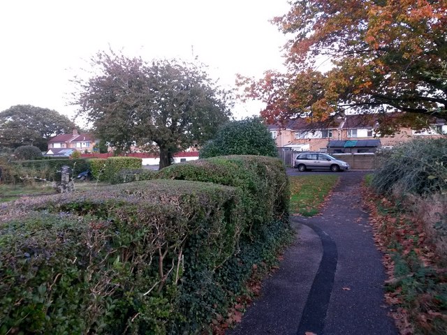
Image: © Chris Downer Taken: 16 Oct 2016
At the dead end of Barrow Drive (behind us), the pavement continues to form public footpath K37 to Ibbertson Way, just ahead, another side street whose dead end is very close by - so much so that the houses of both roads form a virtually unbroken row (curving round to the left just out of picture). See Image for a view towards us from the road ahead, and Image for the view onto Barrow Drive behind us.
Images are licensed for reuse under creativecommons.org/licenses/by-sa/2.0
Image Location


Leaflet Map data © OpenStreetMap
Latitude
50.751331
Longitude
-1.832965