Townsend: footpath K36 to Ibbertson Way
Introduction
The photograph on this page of Townsend: footpath K36 to Ibbertson Way by Chris Downer as part of the Geograph project.
The Geograph project started in 2005 with the aim of publishing, organising and preserving representative images for every square kilometre of Great Britain, Ireland and the Isle of Man.

There are currently over 7.5m images from over 14,400 individuals and you can help contribute to the project by visiting https://www.geograph.org.uk
Townsend: footpath K36 to Ibbertson Way
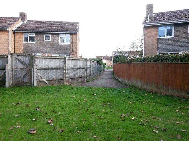
Image: © Chris Downer Taken: 16 Oct 2016
This short public footpath leads from Ibbertson Way onto the public open space behind the houses. Here, we look onto the start of the path from the open space. See Image for the view towards us from a little way along the path.
Images are licensed for reuse under creativecommons.org/licenses/by-sa/2.0
Image Location
Latitude
50.751601
Longitude
-1.832822