Strouden: Mallard Close and the grassy start of footpath K05
Introduction
The photograph on this page of Strouden: Mallard Close and the grassy start of footpath K05 by Chris Downer as part of the Geograph project.
The Geograph project started in 2005 with the aim of publishing, organising and preserving representative images for every square kilometre of Great Britain, Ireland and the Isle of Man.

There are currently over 7.5m images from over 14,400 individuals and you can help contribute to the project by visiting https://www.geograph.org.uk
Strouden: Mallard Close and the grassy start of footpath K05
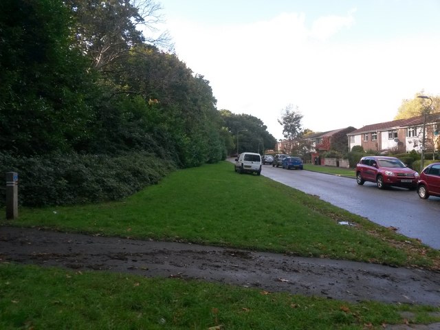
Image: © Chris Downer Taken: 16 Oct 2016
Looking along this short dead-end road at the back of a smallish council housing estate. Also, a public right of way, public footpath K05, starts here and heads straight along the grass ahead, diverging from Mallard Close further along to head to East Way. Meanwhile, the paved path on our left heads into Strouden public open space, perfectly usable but not a designated public right of way. See Image for the next view along Mallard Close ahead, with links to further photos on the course of the public footpath.
Images are licensed for reuse under creativecommons.org/licenses/by-sa/2.0
Image Location
Latitude
50.747042
Longitude
-1.853107