Strouden: footpath K05 drops down to Mallard Close
Introduction
The photograph on this page of Strouden: footpath K05 drops down to Mallard Close by Chris Downer as part of the Geograph project.
The Geograph project started in 2005 with the aim of publishing, organising and preserving representative images for every square kilometre of Great Britain, Ireland and the Isle of Man.

There are currently over 7.5m images from over 14,400 individuals and you can help contribute to the project by visiting https://www.geograph.org.uk
Strouden: footpath K05 drops down to Mallard Close
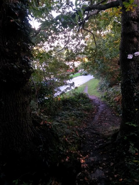
Image: © Chris Downer Taken: 16 Oct 2016
This public footpath comes from East Way, through lightly wooded area on its way to Mallard Close. Here, we see it descending onto Mallard Close before the course of the public right of way follows the grass alongside. See Image for the next view on the path behind us, and Image for the next view ahead - each with links to further pictures along the route.
Images are licensed for reuse under creativecommons.org/licenses/by-sa/2.0
Image Location
Latitude
50.747402
Longitude
-1.853956