Heritage Road
Introduction
The photograph on this page of Heritage Road by John Baker as part of the Geograph project.
The Geograph project started in 2005 with the aim of publishing, organising and preserving representative images for every square kilometre of Great Britain, Ireland and the Isle of Man.

There are currently over 7.5m images from over 14,400 individuals and you can help contribute to the project by visiting https://www.geograph.org.uk
Heritage Road
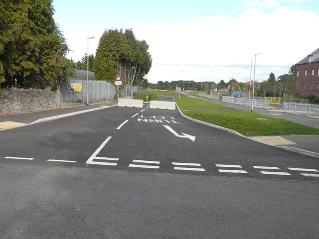
Image: © John Baker Taken: 2 Oct 2016
Compared with Image, the gate and fencing have been removed and road markings added, but the way ahead is now blocked by two lengths of concrete. This is to become a bus link road, that will run to Aylesham railway station. The grass has become well established along the verge.
Images are licensed for reuse under creativecommons.org/licenses/by-sa/2.0
Image Location
Latitude
51.225849
Longitude
1.202594