Wayside cross near Boswarthen
Introduction
The photograph on this page of Wayside cross near Boswarthen by Andrew Curtis as part of the Geograph project.
The Geograph project started in 2005 with the aim of publishing, organising and preserving representative images for every square kilometre of Great Britain, Ireland and the Isle of Man.

There are currently over 7.5m images from over 14,400 individuals and you can help contribute to the project by visiting https://www.geograph.org.uk
Wayside cross near Boswarthen
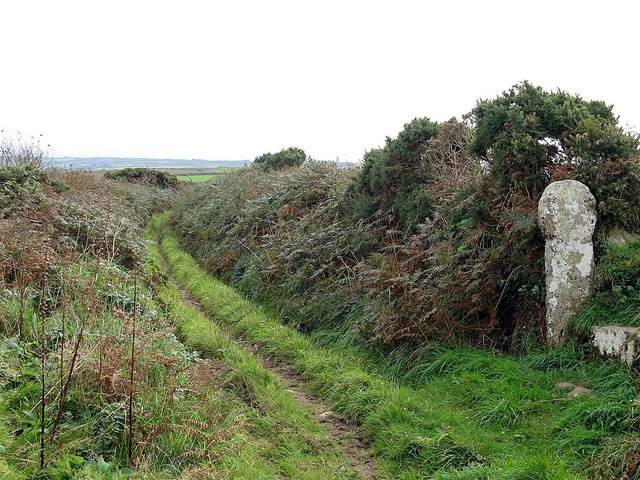
Image: © Andrew Curtis Taken: 7 Oct 2016
Also known as Brane Cross. An eroded medieval wheel head cross, marking the path to Sancreed church and the bounds between Brane and Boswarthen estates.
Images are licensed for reuse under creativecommons.org/licenses/by-sa/2.0
Image Location
Latitude
50.102284
Longitude
-5.624686