Croft Avenue
Introduction
The photograph on this page of Croft Avenue by Ian Capper as part of the Geograph project.
The Geograph project started in 2005 with the aim of publishing, organising and preserving representative images for every square kilometre of Great Britain, Ireland and the Isle of Man.

There are currently over 7.5m images from over 14,400 individuals and you can help contribute to the project by visiting https://www.geograph.org.uk
Croft Avenue
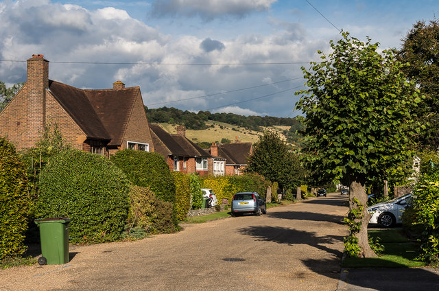
Image: © Ian Capper Taken: 10 Oct 2016
Cul-de-sac off London Road. The road is first shown on the 1914 25" map with three houses; by the 1935 6" map a few more had appeared, but it is not until the 1962 1:1250 map is it shown as being fully developed, as here. In the background is Box Hill.
Images are licensed for reuse under creativecommons.org/licenses/by-sa/2.0
Image Location
Latitude
51.238877
Longitude
-0.327993