Deepdene Avenue
Introduction
The photograph on this page of Deepdene Avenue by Ian Capper as part of the Geograph project.
The Geograph project started in 2005 with the aim of publishing, organising and preserving representative images for every square kilometre of Great Britain, Ireland and the Isle of Man.

There are currently over 7.5m images from over 14,400 individuals and you can help contribute to the project by visiting https://www.geograph.org.uk
Deepdene Avenue
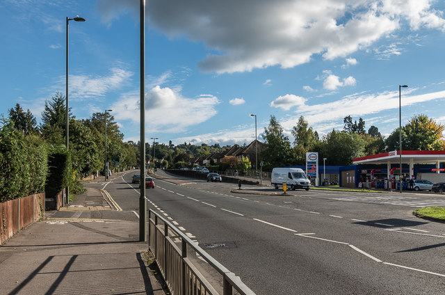
Image: © Ian Capper Taken: 10 Oct 2016
The A24 at its junction with London Road (off to the right of the photo). This section was built in the 1930s as part of the Dorking bypass, the conversion to a dual carriageway coming later, in the 1960s. Prior to the building of the bypass, all traffic went along London Road, and then High Street and South Street, with the course of the current road being the start of the driveway to The Deepdene (see http://www.francisfrith.com/uk/dorking/dorking-deepdene-avenue-1906_54672 for a photo).
Images are licensed for reuse under creativecommons.org/licenses/by-sa/2.0
Image Location
Latitude
51.237734
Longitude
-0.324109