Former power house, Yantlet Range
Introduction
The photograph on this page of Former power house, Yantlet Range by Robin Webster as part of the Geograph project.
The Geograph project started in 2005 with the aim of publishing, organising and preserving representative images for every square kilometre of Great Britain, Ireland and the Isle of Man.

There are currently over 7.5m images from over 14,400 individuals and you can help contribute to the project by visiting https://www.geograph.org.uk
Former power house, Yantlet Range
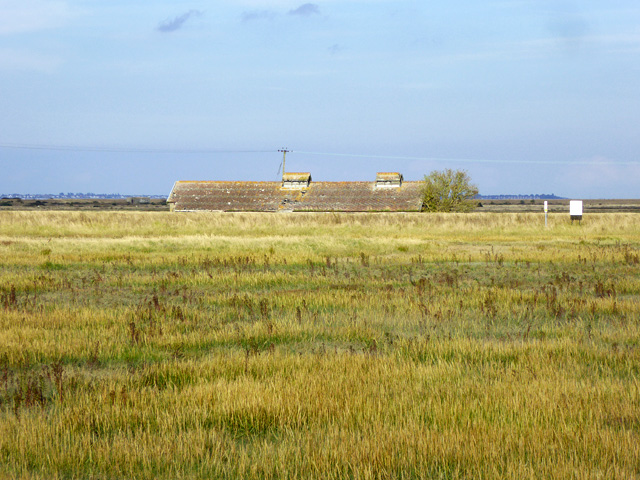
Image: © Robin Webster Taken: 15 Oct 2016
Yantlet Range was established in about 1920 after land acquisition in 1917, as an 'out station' of the Shoeburyness experimental ranges. It fired (probably among other things) very large guns right across the Thames, presumably to land on Maplin Sands for recovery of the shells to Shoeburyness. There was a barge dock on Yantlet Creek with a Goliath crane for handling the guns shipped from Shoeburyness or Woolwich. There was also a branch railway from the railway company's Grain branch at about Grain Crossing. This building was one of a complex here, the headquarters of the range, some of which survive (off to the left). For a very comprehensive report of a paper and field study by English Heritage, see this pdf file https://www.google.co.uk/url?sa=t&rct=j&q=&esrc=s&source=web&cd=1&ved=0ahUKEwjTx9mCmd_PAhULDcAKHbynDagQFggfMAA&url=http%3A%2F%2Fresearch.historicengland.org.uk%2Fredirect.aspx%3Fid%3D6124%257CGrain%2520Island%2520Firing%2520Point%2C%2520Yantlet%2520Creek%2C%2520Isle%2520of%2520Grain%2C%2520Medway%3A%2520Archaeological%2520Desk-Based%2520Assessment&usg=AFQjCNGLN6Xkned-YGweXWn6VSBHYT80CQ&bvm=bv.135974163,d.d24&cad=rja .
Images are licensed for reuse under creativecommons.org/licenses/by-sa/2.0
Image Location
Latitude
51.463171
Longitude
0.68946