Footpath from Kings Hill West Malling to the Wateringbury-East Malling road.
Introduction
The photograph on this page of Footpath from Kings Hill West Malling to the Wateringbury-East Malling road. by Ron Lee as part of the Geograph project.
The Geograph project started in 2005 with the aim of publishing, organising and preserving representative images for every square kilometre of Great Britain, Ireland and the Isle of Man.

There are currently over 7.5m images from over 14,400 individuals and you can help contribute to the project by visiting https://www.geograph.org.uk
Footpath from Kings Hill West Malling to the Wateringbury-East Malling road.
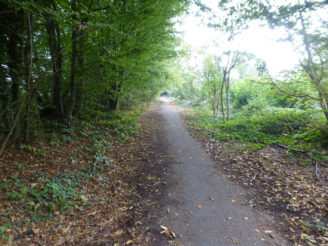
Image: © Ron Lee Taken: 15 Oct 2016
Kings Hill estate is built on the site of the World War 2 aerodrome. When the aerodrome was built many of the lanes that gave access to it were closed and it was a condition of the planning approval for the houses that these would not be re-opened. This path is one of these closed lanes.
Images are licensed for reuse under creativecommons.org/licenses/by-sa/2.0
Image Location
Latitude
51.265556
Longitude
0.40968