West along Laybourne Close, Pontnewydd, Cwmbran
Introduction
The photograph on this page of West along Laybourne Close, Pontnewydd, Cwmbran by Jaggery as part of the Geograph project.
The Geograph project started in 2005 with the aim of publishing, organising and preserving representative images for every square kilometre of Great Britain, Ireland and the Isle of Man.

There are currently over 7.5m images from over 14,400 individuals and you can help contribute to the project by visiting https://www.geograph.org.uk
West along Laybourne Close, Pontnewydd, Cwmbran
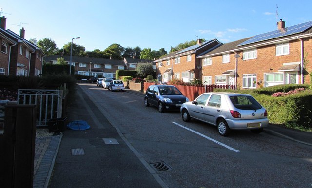
Image: © Jaggery Taken: 5 Oct 2016
From the corner of Chapel Street. This part of Laybourne Close is aligned west-east. The Laybourne Close houses in the background are aligned north-south.
Images are licensed for reuse under creativecommons.org/licenses/by-sa/2.0
Image Location
Latitude
51.658553
Longitude
-3.027668