Meltham FP38/10 at Wood Nook
Introduction
The photograph on this page of Meltham FP38/10 at Wood Nook by Humphrey Bolton as part of the Geograph project.
The Geograph project started in 2005 with the aim of publishing, organising and preserving representative images for every square kilometre of Great Britain, Ireland and the Isle of Man.

There are currently over 7.5m images from over 14,400 individuals and you can help contribute to the project by visiting https://www.geograph.org.uk
Meltham FP38/10 at Wood Nook
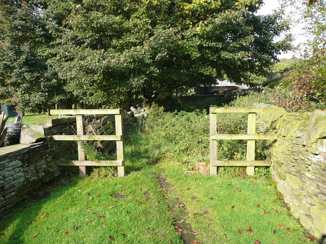
Image: © Humphrey Bolton Taken: 14 Oct 2016
The path starts by going along the driveway of a house, and then enters a lane here. The path from the fence to the trees is covered by nettles, but once the shade of the trees is reached there is a broad earth track. This was the access track for Lower Cote ('Cote' on the 1850 six-inch map).
Images are licensed for reuse under creativecommons.org/licenses/by-sa/2.0
Image Location
Latitude
53.592291
Longitude
-1.818969