Gillingham Baptist Church
Introduction
The photograph on this page of Gillingham Baptist Church by Derek Harper as part of the Geograph project.
The Geograph project started in 2005 with the aim of publishing, organising and preserving representative images for every square kilometre of Great Britain, Ireland and the Isle of Man.

There are currently over 7.5m images from over 14,400 individuals and you can help contribute to the project by visiting https://www.geograph.org.uk
Gillingham Baptist Church
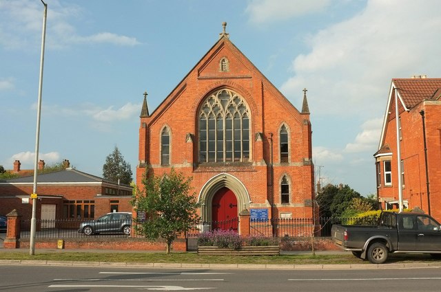
Image: © Derek Harper Taken: 26 May 2016
Also shown in Image, and at the junction of Le Neubourg Way (the B3081) and Newbury at the east edge of the town. The building dates from 1892. On the left is the church hall.
Images are licensed for reuse under creativecommons.org/licenses/by-sa/2.0
Image Location
Latitude
51.035659
Longitude
-2.269496