Junction of the A529 and Bishops Wood, Nantwich
Introduction
The photograph on this page of Junction of the A529 and Bishops Wood, Nantwich by Jaggery as part of the Geograph project.
The Geograph project started in 2005 with the aim of publishing, organising and preserving representative images for every square kilometre of Great Britain, Ireland and the Isle of Man.

There are currently over 7.5m images from over 14,400 individuals and you can help contribute to the project by visiting https://www.geograph.org.uk
Junction of the A529 and Bishops Wood, Nantwich
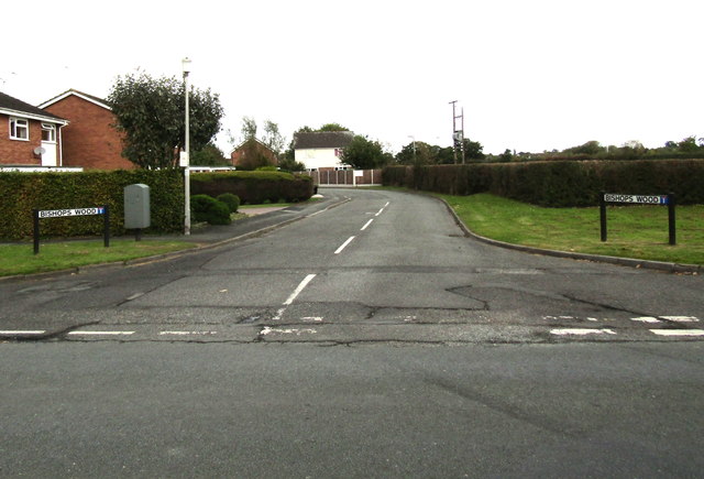
Image: © Jaggery Taken: 13 Oct 2016
Looking north along Bishops Wood, the road which marks the transition from the A529 Audlem Road to the left and the A529 Broad Lane to the right.
Images are licensed for reuse under creativecommons.org/licenses/by-sa/2.0
Image Location
Latitude
53.053812
Longitude
-2.509741