Paulton fire station
Introduction
The photograph on this page of Paulton fire station by Neil Owen as part of the Geograph project.
The Geograph project started in 2005 with the aim of publishing, organising and preserving representative images for every square kilometre of Great Britain, Ireland and the Isle of Man.

There are currently over 7.5m images from over 14,400 individuals and you can help contribute to the project by visiting https://www.geograph.org.uk
Paulton fire station
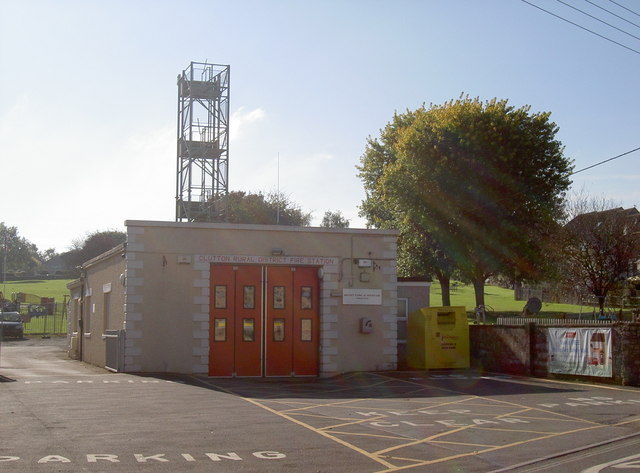
Image: © Neil Owen Taken: 11 Oct 2016
Paulton has had a fire station here since 1930s, with this version arriving in 1973. It is a Retained station, covering 49 sq. km. - mainly urban in makeup.
Images are licensed for reuse under creativecommons.org/licenses/by-sa/2.0
Image Location
Latitude
51.306525
Longitude
-2.505631