View over Woodmancote
Introduction
The photograph on this page of View over Woodmancote by David P Howard as part of the Geograph project.
The Geograph project started in 2005 with the aim of publishing, organising and preserving representative images for every square kilometre of Great Britain, Ireland and the Isle of Man.

There are currently over 7.5m images from over 14,400 individuals and you can help contribute to the project by visiting https://www.geograph.org.uk
View over Woodmancote
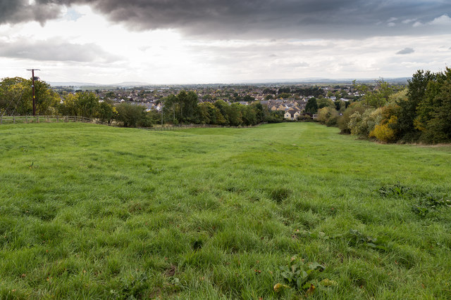
Image: © David P Howard Taken: 12 Oct 2016
Looking WSW from the footpath to Gotherington, over fields towards the houses on Butt's Lane.
Images are licensed for reuse under creativecommons.org/licenses/by-sa/2.0
Image Location


Leaflet Map data © OpenStreetMap
Latitude
51.949047
Longitude
-2.041129