Plaistow from the air
Introduction
The photograph on this page of Plaistow from the air by Derek Harper as part of the Geograph project.
The Geograph project started in 2005 with the aim of publishing, organising and preserving representative images for every square kilometre of Great Britain, Ireland and the Isle of Man.

There are currently over 7.5m images from over 14,400 individuals and you can help contribute to the project by visiting https://www.geograph.org.uk
Plaistow from the air
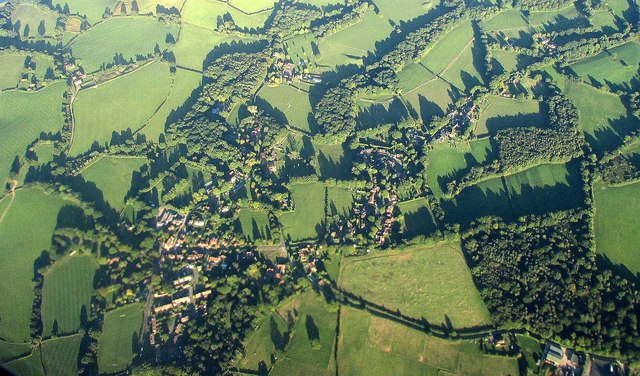
Image: © Derek Harper Taken: 3 Oct 2016
Partly also shown in Image]; Rumbold Wood and Rumbold's Farm are at lower right, along a byway from the village. See also Image
Images are licensed for reuse under creativecommons.org/licenses/by-sa/2.0
Image Location
Latitude
51.065929
Longitude
-0.565682