The old M1 sliproad by Watford Way
Introduction
The photograph on this page of The old M1 sliproad by Watford Way by David Howard as part of the Geograph project.
The Geograph project started in 2005 with the aim of publishing, organising and preserving representative images for every square kilometre of Great Britain, Ireland and the Isle of Man.

There are currently over 7.5m images from over 14,400 individuals and you can help contribute to the project by visiting https://www.geograph.org.uk
The old M1 sliproad by Watford Way
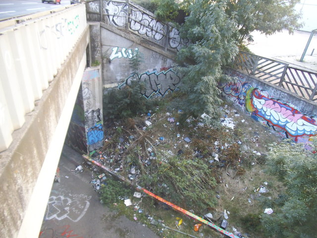
Image: © David Howard Taken: 11 Oct 2016
This was the original start of the M1, closed when it was extended to Staples Corner. It was also free to walk through till the late 2000s or so.
Images are licensed for reuse under creativecommons.org/licenses/by-sa/2.0
Image Location


Leaflet Map data © OpenStreetMap
Latitude
51.607801
Longitude
-0.241211