The Brae, St Andrew Street
Introduction
The photograph on this page of The Brae, St Andrew Street by Richard Sutcliffe as part of the Geograph project.
The Geograph project started in 2005 with the aim of publishing, organising and preserving representative images for every square kilometre of Great Britain, Ireland and the Isle of Man.

There are currently over 7.5m images from over 14,400 individuals and you can help contribute to the project by visiting https://www.geograph.org.uk
The Brae, St Andrew Street
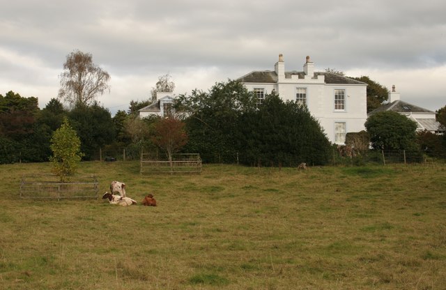
Image: © Richard Sutcliffe Taken: 11 Oct 2016
The Brae is a Category B listed building. Although it looks to be set in the countryside, this is actually in Castle Douglas itself, and the cattle are grazing in a small field less than one hectare in size, surrounded by streets and buildings.
Images are licensed for reuse under creativecommons.org/licenses/by-sa/2.0
Image Location
Latitude
54.938327
Longitude
-3.928966