Building Development
Introduction
The photograph on this page of Building Development by Andrew Wood as part of the Geograph project.
The Geograph project started in 2005 with the aim of publishing, organising and preserving representative images for every square kilometre of Great Britain, Ireland and the Isle of Man.

There are currently over 7.5m images from over 14,400 individuals and you can help contribute to the project by visiting https://www.geograph.org.uk
Building Development
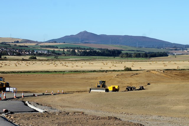
Image: © Andrew Wood Taken: 9 Oct 2016
Housing development is creeping nearer and nearer to Portstown. See Image for a view from 11 years back.
Images are licensed for reuse under creativecommons.org/licenses/by-sa/2.0
Image Location
Latitude
57.299722
Longitude
-2.37967