Bourne Hill and Horsham from the air
Introduction
The photograph on this page of Bourne Hill and Horsham from the air by Derek Harper as part of the Geograph project.
The Geograph project started in 2005 with the aim of publishing, organising and preserving representative images for every square kilometre of Great Britain, Ireland and the Isle of Man.

There are currently over 7.5m images from over 14,400 individuals and you can help contribute to the project by visiting https://www.geograph.org.uk
Bourne Hill and Horsham from the air
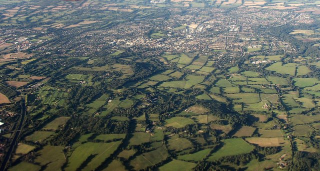
Image: © Derek Harper Taken: 3 Oct 2016
The country south of Horsham. Bourne Hill House is just below centre; up to its left is Denne Park. Horsham is towards the top. On the left is the A24, setting off on the town's bypass.
Images are licensed for reuse under creativecommons.org/licenses/by-sa/2.0
Image Location
Latitude
51.04207
Longitude
-0.326771