Bus turning area, New Quay, North Shields
Introduction
The photograph on this page of Bus turning area, New Quay, North Shields by Graham Robson as part of the Geograph project.
The Geograph project started in 2005 with the aim of publishing, organising and preserving representative images for every square kilometre of Great Britain, Ireland and the Isle of Man.

There are currently over 7.5m images from over 14,400 individuals and you can help contribute to the project by visiting https://www.geograph.org.uk
Bus turning area, New Quay, North Shields
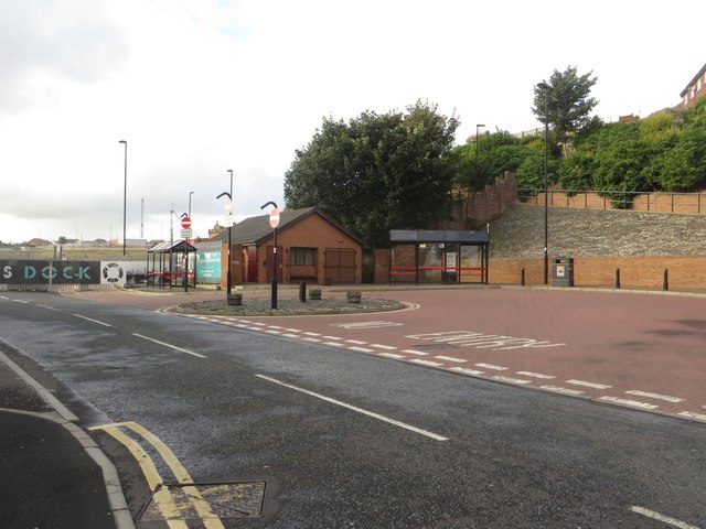
Image: © Graham Robson Taken: 9 Oct 2016
A bus turning area and stops at the end of New Quay, North Shields, adjacent to the North Shields landing of the Shields Ferry.
Images are licensed for reuse under creativecommons.org/licenses/by-sa/2.0
Image Location
Latitude
55.003503
Longitude
-1.445287