Country southeast of Crowborough, from the air
Introduction
The photograph on this page of Country southeast of Crowborough, from the air by Derek Harper as part of the Geograph project.
The Geograph project started in 2005 with the aim of publishing, organising and preserving representative images for every square kilometre of Great Britain, Ireland and the Isle of Man.

There are currently over 7.5m images from over 14,400 individuals and you can help contribute to the project by visiting https://www.geograph.org.uk
Country southeast of Crowborough, from the air
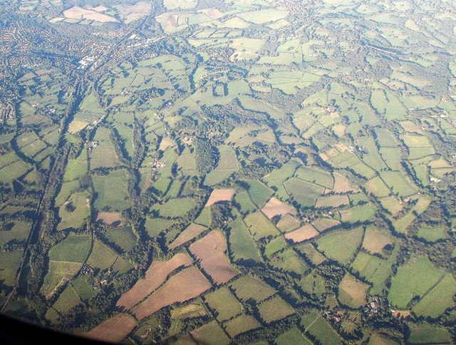
Image: © Derek Harper Taken: 3 Oct 2016
That's Crowborough at top left. At the centre are woods around Steep Park.
Images are licensed for reuse under creativecommons.org/licenses/by-sa/2.0
Image Location
Latitude
51.02371
Longitude
0.185918