The River Clyde, Lower Harbour
Introduction
The photograph on this page of The River Clyde, Lower Harbour by M J Richardson as part of the Geograph project.
The Geograph project started in 2005 with the aim of publishing, organising and preserving representative images for every square kilometre of Great Britain, Ireland and the Isle of Man.

There are currently over 7.5m images from over 14,400 individuals and you can help contribute to the project by visiting https://www.geograph.org.uk
The River Clyde, Lower Harbour
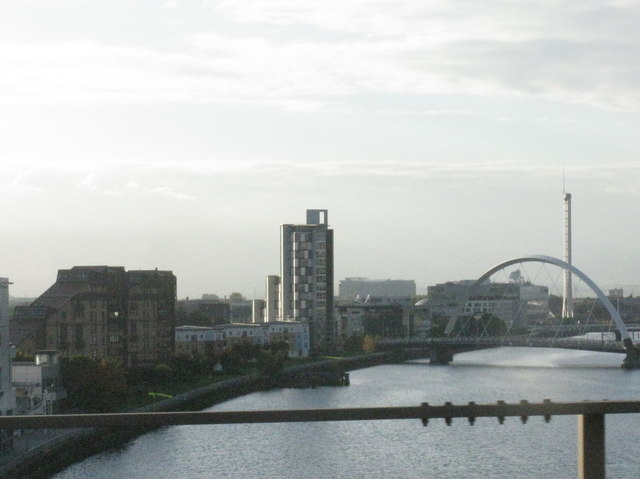
Image: © M J Richardson Taken: 8 Oct 2016
Seen from a bus crossing Kingston Bridge. From left to right:- new housing at Mavisbank Gardens, the Clyde Arc or Squinty Bridge, and the Glasgow Tower.
Images are licensed for reuse under creativecommons.org/licenses/by-sa/2.0
Image Location
Latitude
55.856517
Longitude
-4.283565