The A361 in Upper Inglesham
Introduction
The photograph on this page of The A361 in Upper Inglesham by David Purchase as part of the Geograph project.
The Geograph project started in 2005 with the aim of publishing, organising and preserving representative images for every square kilometre of Great Britain, Ireland and the Isle of Man.

There are currently over 7.5m images from over 14,400 individuals and you can help contribute to the project by visiting https://www.geograph.org.uk
The A361 in Upper Inglesham
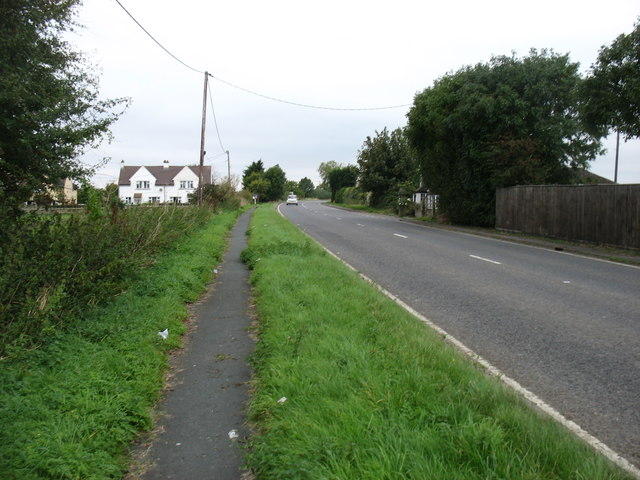
Image: © David Purchase Taken: 8 Oct 2016
Heading for Lechlade and Burford. For about a mile the Thames Path follows the verge of this busy road. There are even signs for motorists warning of 'Walkers ahead: for the next mile the Thames Path National Trail follows this road'. Not that anybody drives any more slowly as a result! For about ten kilometres between Lechlade and Castle Eaton, the Thames Path passes through some flat and not very interesting country - not helped by the fact that the river itself is visible only for the first kilometre near Lechlade, and later for just 250 metres.
Images are licensed for reuse under creativecommons.org/licenses/by-sa/2.0
Image Location
Latitude
51.669878
Longitude
-1.706559