Boscombe: the dead end of Grantham Road
Introduction
The photograph on this page of Boscombe: the dead end of Grantham Road by Chris Downer as part of the Geograph project.
The Geograph project started in 2005 with the aim of publishing, organising and preserving representative images for every square kilometre of Great Britain, Ireland and the Isle of Man.

There are currently over 7.5m images from over 14,400 individuals and you can help contribute to the project by visiting https://www.geograph.org.uk
Boscombe: the dead end of Grantham Road
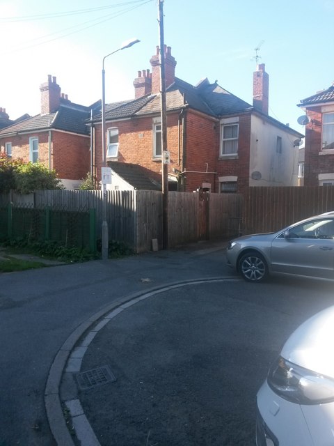
Image: © Chris Downer Taken: 9 Oct 2016
A short side-street alongside the railway line, Grantham Road comes to an abrupt end without any widening to aid the motorist to turn round. In the far corner, we see public footpath, number J03 - a short alley cutting through to south road. See Image for a view along the path.
Images are licensed for reuse under creativecommons.org/licenses/by-sa/2.0
Image Location
Latitude
50.730933
Longitude
-1.843664