Castle Court, City of London
Introduction
The photograph on this page of Castle Court, City of London by Christopher Hilton as part of the Geograph project.
The Geograph project started in 2005 with the aim of publishing, organising and preserving representative images for every square kilometre of Great Britain, Ireland and the Isle of Man.

There are currently over 7.5m images from over 14,400 individuals and you can help contribute to the project by visiting https://www.geograph.org.uk
Castle Court, City of London
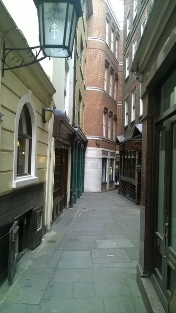
Image: © Christopher Hilton Taken: 6 Oct 2016
Part of a warren of little alleys between Lombard Street and Cornhill. On the left, the George and Vulture.
Images are licensed for reuse under creativecommons.org/licenses/by-sa/2.0
Image Location


Leaflet Map data © OpenStreetMap
Latitude
51.512928
Longitude
-0.085905