Perbargus Point West Portholland
Introduction
The photograph on this page of Perbargus Point West Portholland by David Mitchell as part of the Geograph project.
The Geograph project started in 2005 with the aim of publishing, organising and preserving representative images for every square kilometre of Great Britain, Ireland and the Isle of Man.

There are currently over 7.5m images from over 14,400 individuals and you can help contribute to the project by visiting https://www.geograph.org.uk
Perbargus Point West Portholland
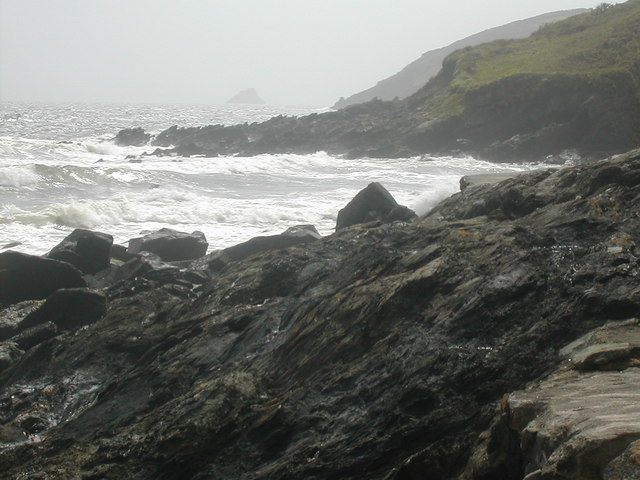
Image: © David Mitchell Taken: 21 May 2006
Looking west from the Portholland sea defence wall to Perbargus Point with Shag Rock a mile or so distant.
Images are licensed for reuse under creativecommons.org/licenses/by-sa/2.0
Image Location
Latitude
50.23382
Longitude
-4.865098