More new houses: ridge and furrow is not sacred in Tetney: aerial 2016
Introduction
The photograph on this page of More new houses: ridge and furrow is not sacred in Tetney: aerial 2016 by Chris as part of the Geograph project.
The Geograph project started in 2005 with the aim of publishing, organising and preserving representative images for every square kilometre of Great Britain, Ireland and the Isle of Man.

There are currently over 7.5m images from over 14,400 individuals and you can help contribute to the project by visiting https://www.geograph.org.uk
More new houses: ridge and furrow is not sacred in Tetney: aerial 2016
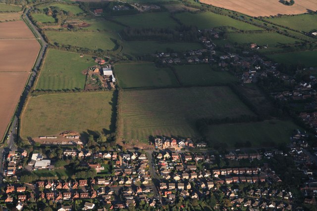
Image: © Chris Taken: 8 Oct 2016
East of the main street, from the junction of Tetney Lock Road to the cemetery, a line of new houses has sprung up, despite the ancient field system.
Images are licensed for reuse under creativecommons.org/licenses/by-sa/2.0
Image Location
Latitude
53.493407
Longitude
-0.01868