Pasture near Stoneyard Green
Introduction
The photograph on this page of Pasture near Stoneyard Green by Bob Embleton as part of the Geograph project.
The Geograph project started in 2005 with the aim of publishing, organising and preserving representative images for every square kilometre of Great Britain, Ireland and the Isle of Man.

There are currently over 7.5m images from over 14,400 individuals and you can help contribute to the project by visiting https://www.geograph.org.uk
Pasture near Stoneyard Green
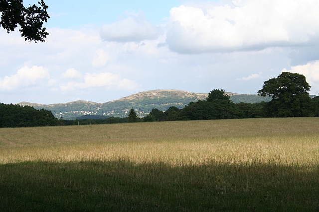
Image: © Bob Embleton Taken: 2 Aug 2007
Looking towards the Malvern Hills with the large Worcestershire Beacon in the centre. North Hill and Sugarloaf Hill are to the left.
Images are licensed for reuse under creativecommons.org/licenses/by-sa/2.0
Image Location


Leaflet Map data © OpenStreetMap
Latitude
52.092958
Longitude
-2.421936