Ythan passes Mill Water
Introduction
The photograph on this page of Ythan passes Mill Water by Andrew Wood as part of the Geograph project.
The Geograph project started in 2005 with the aim of publishing, organising and preserving representative images for every square kilometre of Great Britain, Ireland and the Isle of Man.

There are currently over 7.5m images from over 14,400 individuals and you can help contribute to the project by visiting https://www.geograph.org.uk
Ythan passes Mill Water
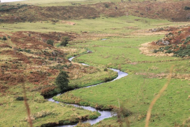
Image: © Andrew Wood Taken: 8 Oct 2016
The Ythan flowing downstream; the Mill Water joins it just by the second bend of the meander.
Images are licensed for reuse under creativecommons.org/licenses/by-sa/2.0
Image Location
Latitude
57.41919
Longitude
-2.349773